
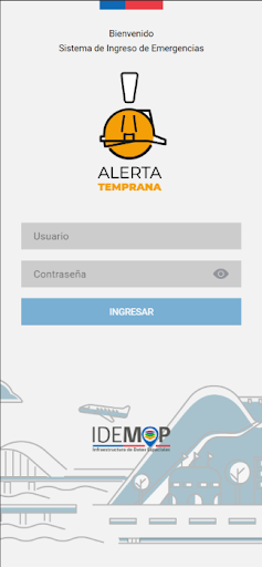
Features Alerta Temprana MOP
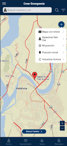
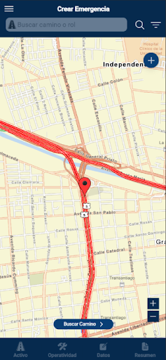
Application built for the Ministry of Public Works and designed to record and / or georeference emergency events that have occurred on the infrastructure of ministerial responsibility.It allows the capture of locations, through the use of a mobile device and through the application of two possible survey methods; The first is directly in the field, using the devices GPS and the second is indirect, allowing the user to manually navigate the map to the required location and enter the new capture.It has been built by the DGOP, in conjunction with professionals from the emergency area and UGIT from each department, in order to incorporate georeference into emergency events.
Weather Features
Get accurate weather forecasts and real-time updates.
Fitness Tracking
Track your workouts and monitor your health metrics.
Travel Features
Plan and manage your travels with ease.
See the Alerta Temprana MOP in Action
Get the App Today
Available for Android 8.0 and above